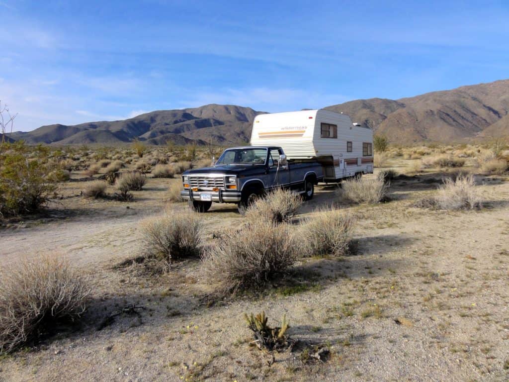
Borrego Springs, California | Camping

Borrego Springs, in Southern California between San Diego and the Salton Sea, is completely surrounded by the beautiful Anza-Borrego Desert State Park, which is California’s largest state park. Much of the state park is open to dispersed camping. The local desert makes a perfect base camp for exploring the park, and the town has just about everything you would need for supplies, including a well stocked grocery store.
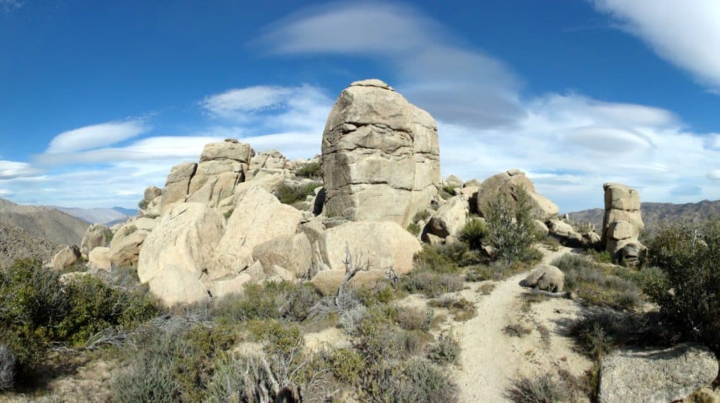
Pick your pleasure from palm oasis, waterfalls, slot canyons, Native American petroglyphs and grinding holes, rare elephant trees, badlands, and countless fascinating geological formations. A number of excellent hiking trails in the park showcase this outstanding desert scenery. A handful of these trails start within walking distance of town, at the state park visitor’s center off Palm Canyon Drive.
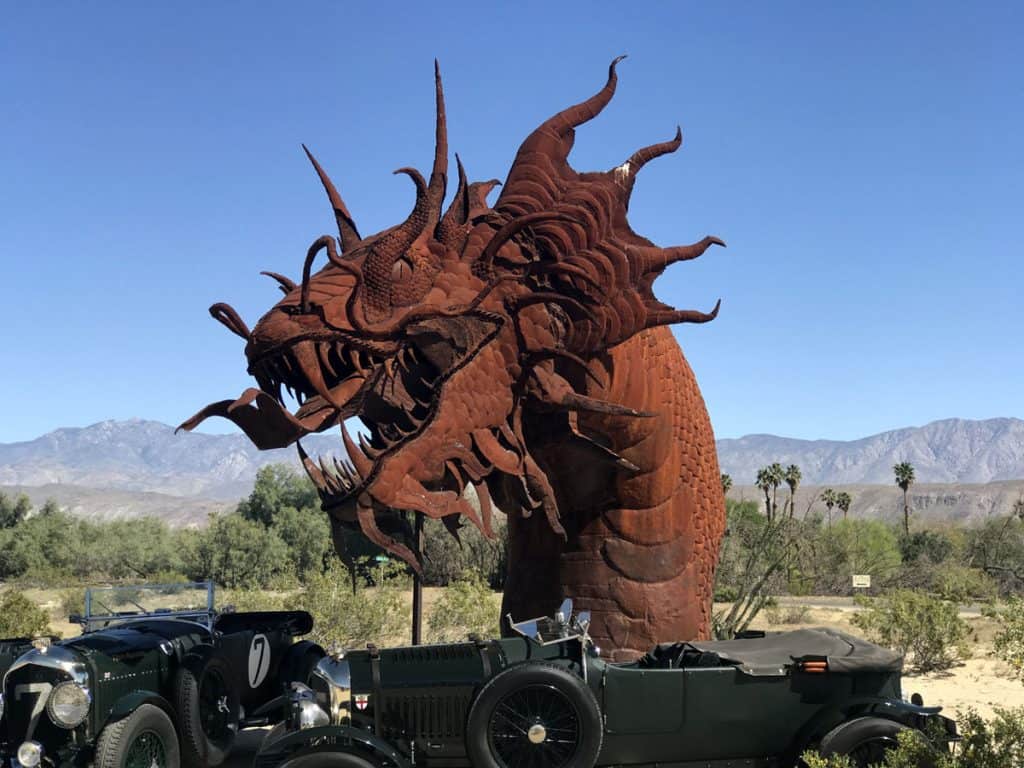
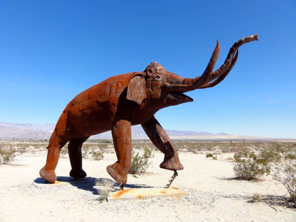
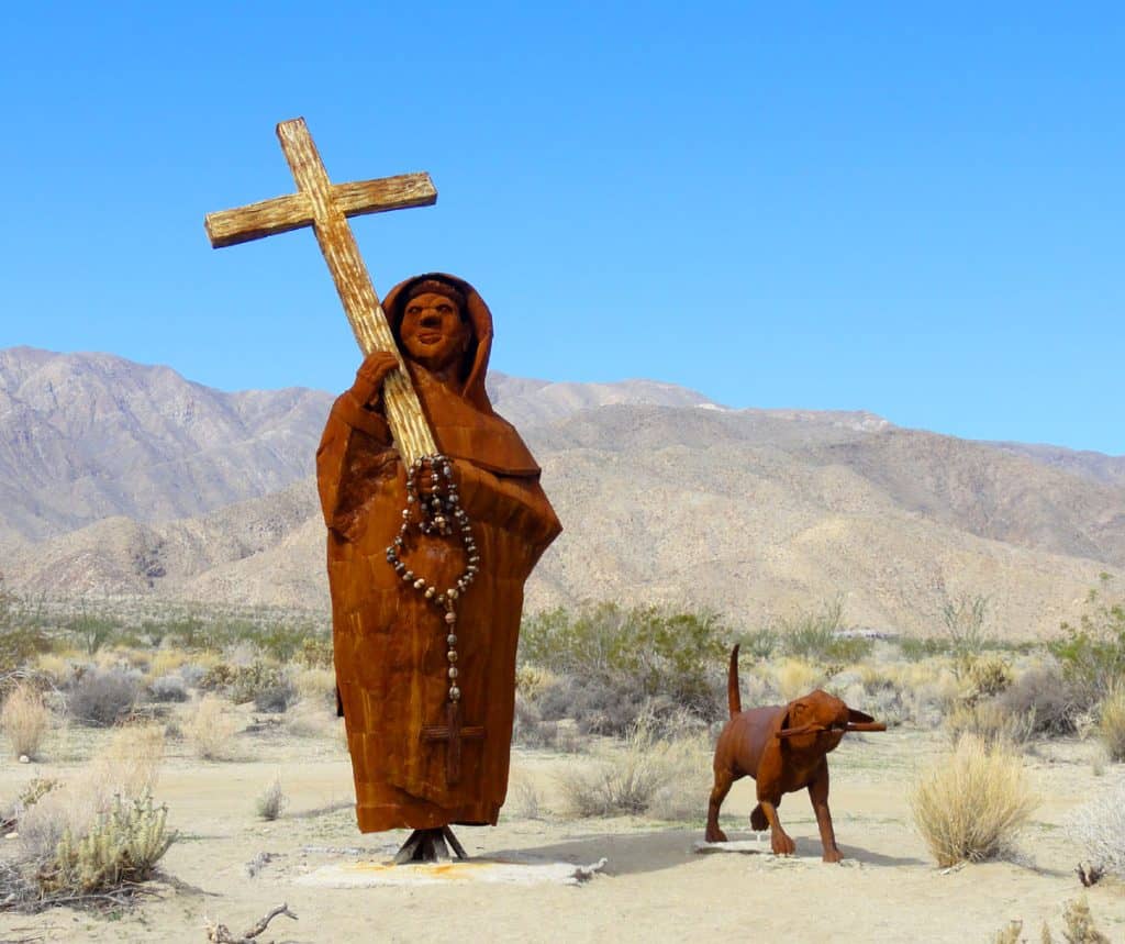
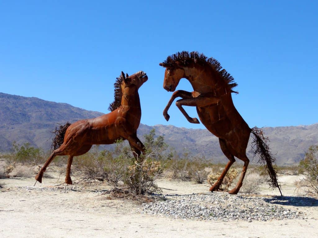
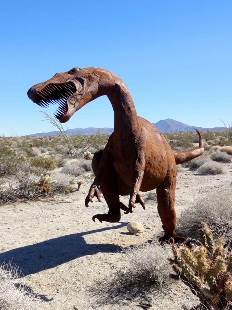
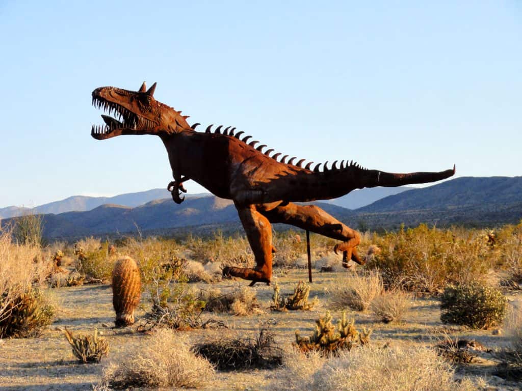
The town of Borrego Springs has much to offer. There are golf courses, tennis courts, Jeep tours, bicycle tours and rentals, and last but not least…the sculptures at Galleta Meadows! You’ll be amazed at these magnificent life sculptures throughout town and in the open desert. Keep your eyes peeled for prehistoric animals, some that called Borrego Valley home millions of years ago. There are dinosaurs, woolly mammoths, saber-tooth cats, giant tortoises, monstrous birds, and even a dragon like serpent.
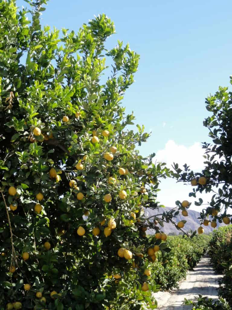
Lush green groves of citrus trees and palms can be found on the outskirts of town. Borrego Valley produces delicious dates, oranges, tangerines, grapefruit, and lemons – all of which are sold at roadside stands and at the farmer’s market held at Christmas Circle in the center of town. The farmer’s market also has an abundance of other fresh produce, seafood, honey, jams and jellies, flowers, and fudge. Don’t miss it as there’s more variety of produce here than what the local grocery store carries.
We’re reader-supported. When you buy through links on our site, we may earn an affiliate commission.
Where in The World?
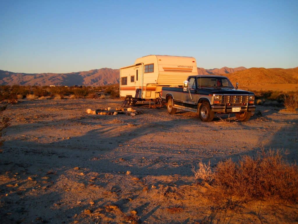
Borrego Springs, California is a 90 mile drive from San Diego, or a 90 mile drive from Palm Springs. There are dozens of free and wild campsites in and around Borrego Springs. Camping is allowed for up to 5 days at many of the Galleta Meadows sites, where you can camp next to sculptures of giant beasts.
There is also camping at the Peg Leg Smith Historical Marker northeast of town. In the past, camping was permitted near Clark Lake northeast of town; you’ll have to check for posted signs before camping here though as camping may no longer be allowed. Once you enter the surrounding Anza-Borrego Desert State Park, dispersed camping is permitted in much of the park.
Camping Elevation: 600 to 700 feet
Water/RV Dump: Potable water and RV dump stations can be found at:
- Palm Canyon Campground: In Anza-Borrego Desert State Park just west of town off Palm Canyon Drive
- Palm Canyon Resort: At the west end of town off Palm Canyon Drive
- Springs at Borrego RV Resort: At the northeast end of town off Di Giorgio Road
Borrego Springs Area Map
Borrego Springs RV Camping Journal
March 20, 2013
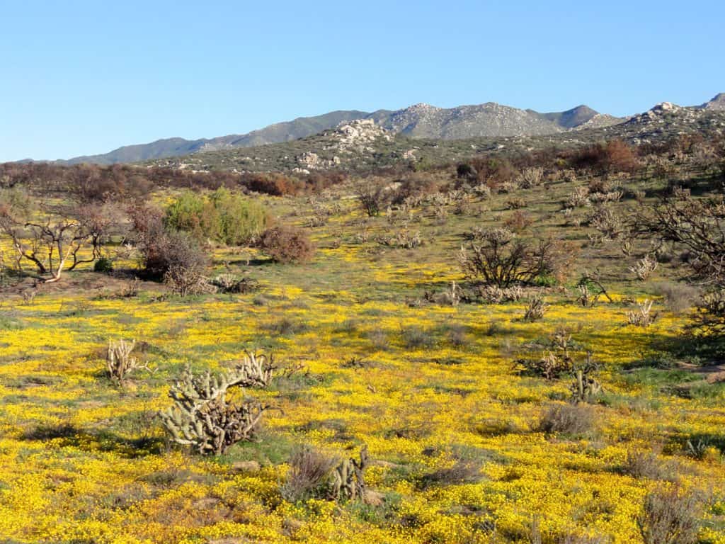
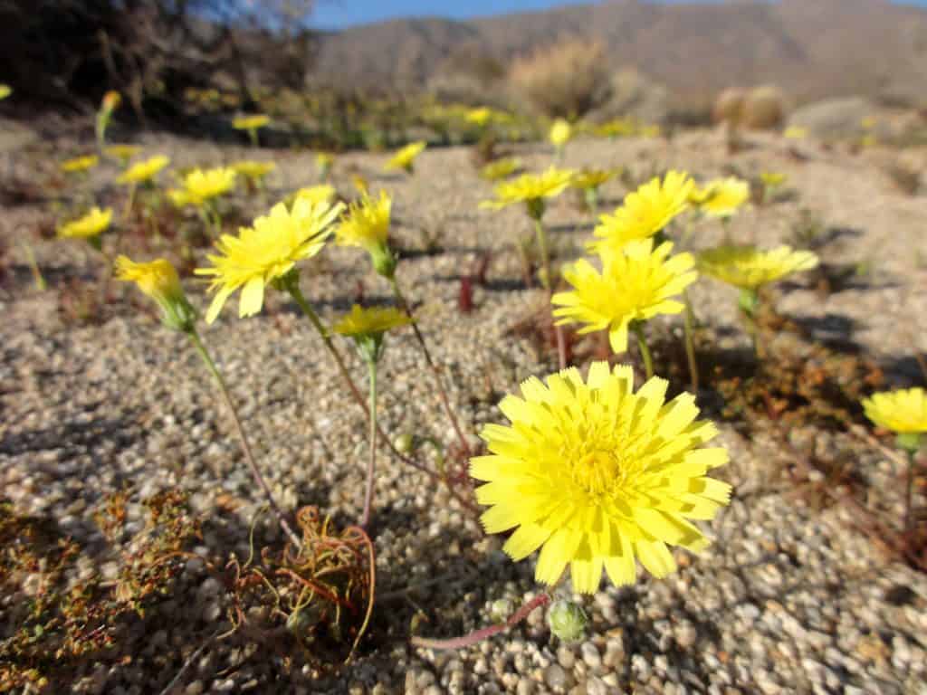
With the recent burst of color from the yellow wildflowers that are now covering the desert, it’s obvious that spring is here! Many of the cacti are just beginning to bloom too. The ocotillo are blooming with brilliant red flowers. Some of the creosote bushes are showing their yellow flowers. It’s a beautiful time to be in the desert!
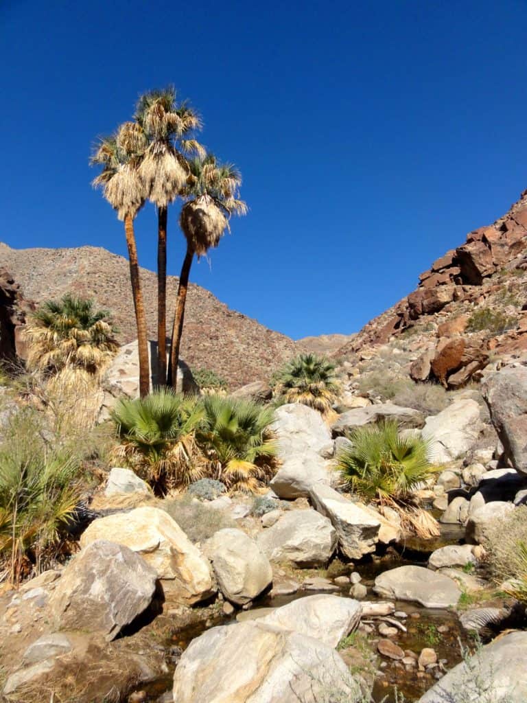
Recreation: Not only is there water for the palm and citrus groves, there are several springs up in the mountains that sustain lush palm oasis. And yes, there are waterfalls here. My, my, is there anything more beautiful than a waterfall in the desert?
There are two hikes that take you to this watery paradise: Borrego Palm Canyon Nature Trail and Maidenhair Falls Trail up Hellhole Canyon. I highly recommend doing both, but if it’s too hot to handle, then Borrego Palm Canyon is shorter and easier at 3 miles roundtrip. This hike leads you to one of the largest oasis in the United States, with over 800 native palms. You’ll find refreshing shade among the palms and a 15 foot waterfall among the giant boulders. Did I just die and go to heaven?
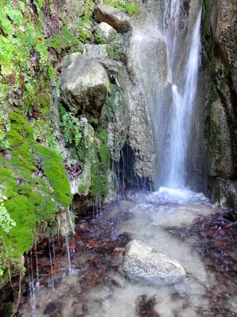
The hike up Hellhole Canyon to Maidenhair Falls is more difficult at 6 miles roundtrip, and requires some rock scrambling to reach the falls. It might feel like a hellhole starting off on a hot day, but once you reach the cool spring water it feels like heaven. You’ll come to some giant boulders and will have to look closely to find the falls – just follow the water and listen for the falls. You’ll find a 20 foot waterfall with lush green moss and maidenhair ferns. Keep an eye out for Native American grinding holes along the way, and look up at the canyon walls for bighorn sheep. I saw 3 rams descend down from the mountain side, then appear about 50 yards behind me on the trail!
The Anza Borrego Foundation offers educational hikes, tours, classes, and lectures in the state park. Many of these are free of charge and are led by volunteer naturalists. A full schedule of activities can be picked up at the state park visitor’s center off Palm Canyon Drive.
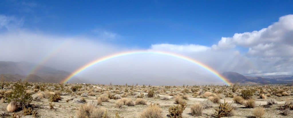
Weather: It’s now mid March. There are regular bouts of wind here, and it’s almost always out of the west. When these winds occur, which is every few days, they typically come with 20-30 mph gusts. I did have 50 mph gusts with a couple of these systems, and one wind whopper which brought 100 mph gusts! A couple storms brought some light rain and a dusting of snow to the mountain tops, which was lovely. The most recent storm occurred about a week ago and it brought a spectacular double rainbow to my campsite!
Three weeks ago temperatures were cooler with lows in the 40s and highs about 70. It’s warmed up in the last couple weeks to 50s and 60s for lows, and 80s and 90s for highs. I’ve had lots of sun with only a few cloudy and partly cloudy days.
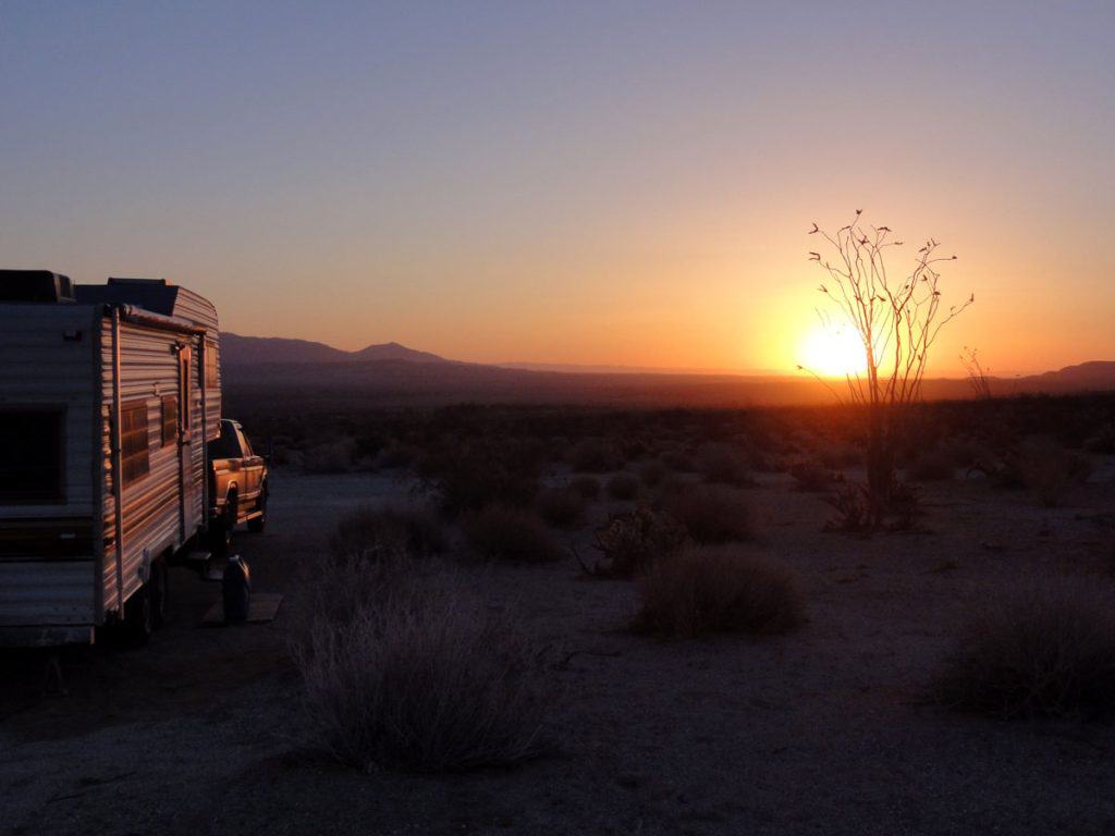
Orientating the RV east/west is pretty much mandatory here, as this situates the rig parallel to the wind, which blows from the west. Here’s why…
Borrego Springs Wind & Dust Storm Video
I was told that spring was the windiest time of the year in Borrego Springs. They weren’t joking. This storm brought 100 mph gusts that lowered my 5th wheel 3 inches on one side as it blew the sand and pebbles from underneath my jack stand. It also ripped my already damaged awning (which was retracted and not out), and blew a roof vent cover off. I’m just happy my RV remained in the upright position! Here’s the video…
Wildlife: Jackrabbits love it here. Same for coyotes (which love to eat the jackrabbits no doubt). At my campsite I saw quite a few coyotes strolling by and could often hear their yippings in the mornings or evenings. For birds I saw roadrunners, hummingbirds, gambel’s quail, ravens, turkey vultures, mourning doves, and eagles. Other wildlife included bighorn sheep rams and canyon tree frogs in Hellhole Canyon during my hike. I also saw ground squirrels, a few bats, and several lizards large and small.
Peacefulness: Borrego Springs and Borrego Valley are extremely peaceful. Traffic is very light in and around this small community. There isn’t much air traffic either, just a few small planes and a military jet or helicopter now and then.
RV Solar: 98% sun in Borrego Valley
Cell Signal: Excellent Verizon cell signal in and around town. Once you leave Borrego Valley to explore Anza-Borrego Desert State Park, cell service is pretty much zilch.
RV Campsite Rating: 10 out of 10. It can be windy at times, but this truly is a desert paradise. Borrego Valley is extremely peaceful, the scenery is magnificent, recreation is boundless, and Borrego Springs just has that friendly small town appeal.
February 26, 2013
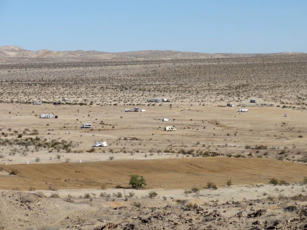
I’m camped near Clark Lake (dry) northeast of Borrego Springs. Clark Lake and the nearby Peg Leg Smith Historical Marker are very popular RV camping areas just outside Borrego Springs. The number of RVs camped here at the time of writing is well over 100. Many of these campers are concentrated at the Peg Leg Smith parking area, which is funny because there are countless more campsites to be found to the northeast, just off Highway S22 (Borrego Salton Seaway). These campsites are in Clark Valley, south of Clark Lake.
There is plenty of room to stretch out and the campsites are very spacious. The area is open desert sparsely vegetated with creosote bush. I see a few tent campers here, as well as colossal Class A motorhomes. The pleasant winter weather makes it quite popular with snowbirds, some who may very well spend the entire winter camped here. In fact I saw one RV camper with enough firewood to last a couple winters.
Borrego Springs is only a 7 mile drive away for supplies.
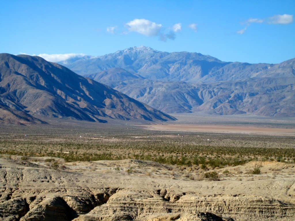
Recreation: There’s much to explore, even right here from camp. To the northwest is Coyote Mountain, which has several hiking trails taking you up for a nice view of Borrego Valley and the loftier mountains surrounding the valley. These trails can be accessed from the very southeast end of the Coyote Mountain Range, near the Peg Leg Smith Historical Marker.
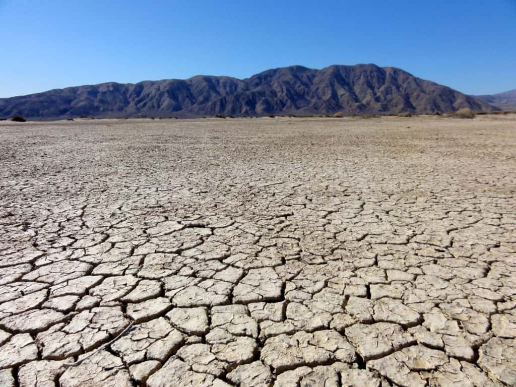
Then there’s Clark Lake to the north, a dry lake bed that makes for easy hiking. The views from this low point are impressive. Your eyes will probably tell you you’re seeing water, when in reality it’s just a mirage. The Santa Rosa Mountains appear to rise even higher when viewed from this desolate plain.
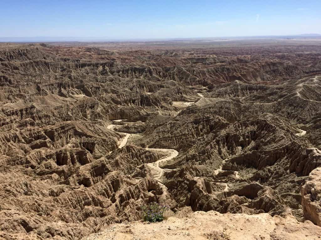
And don’t miss the Borrego Badlands to the southeast. It’s an easy hike, or drive to Fonts Point for an incredible view of an extremely rugged and desolate environment that’s very beautiful nonetheless. It’s a fantastic display of erosion.
Last but not least is the town of Borrego Springs. You’ll find lush groves of palm, lemon, orange, and grapefruit trees. Throughout town you can’t help but notice the fascinating metal sculptures of prehistoric creatures. The town is extremely bike friendly and traffic is light.
Weather: During the 2 weeks I camped here in mid to late February, highs have been in the 60s and 70s, lows in the 30s and 40s. Days have been a little breezy, and a few were very windy with 30-40 mph gusts. I also had a few days that were very nice and calm. I’ve had few clouds, with full sun on most days. There was a storm system that cooled things down and brought a good dusting of snow to the mountain tops. I heard Tucson even got snow from this one.
Wildlife: I heard coyotes on a few nights, which sounded very close to camp. I saw many black-tailed jackrabbits, a few ground squirrels, many ravens, hummingbirds, other small birds, and small lizards.
Insects: A few black beetles, bees, and a few flies.
RV Solar: 99% sun!
Peacefulness: Highway S22 is in view and traffic can sometimes be heard, though traffic is light on this highway. There are campsites further from the highway if one seeks more peace, but don’t count on getting a cell signal. An occasional airplane or military jet can be heard overhead. Otherwise it’s as quiet as a desert and extremely peaceful. There are no gun shots to be heard as target practice is not allowed here or in the state park – something which is often a problem when camping so close to a town.
Cell Signal: I had pretty fast Verizon Mobile Broadband Internet with the external antenna placed on my roof. Verizon cell phone calls weren’t so great though. I lost the signal several times while talking. I typically had 1 to 2 bars of 3g service. Even stepping outside the RV didn’t seem to help. However, walking a short distance uphill by going south or southwest may have helped.
RV Campsite Rating: 9 out of 10. It’s very convenient right off the highway, there’s much to explore here, nice winter weather, spacious campsites, awesome views, and it’s very peaceful. It can be a bit windy at times, but overall it’s a fantastic camping area.

