Kendrick Mountain, Flagstaff, Arizona | Camping

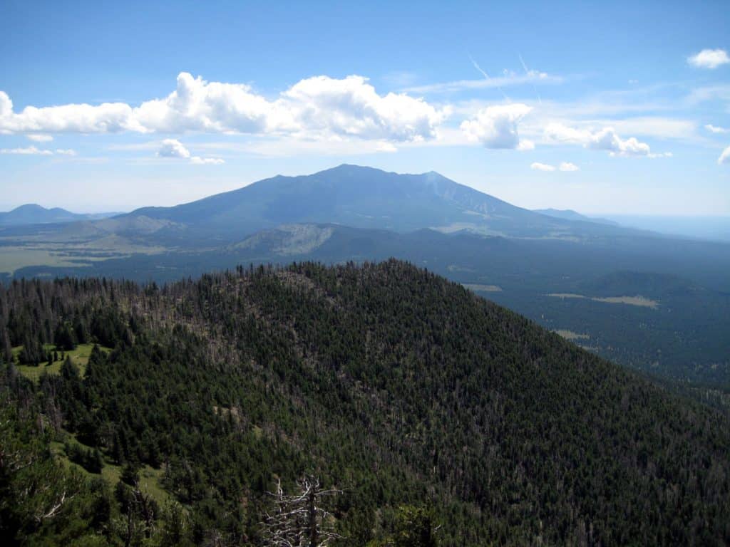
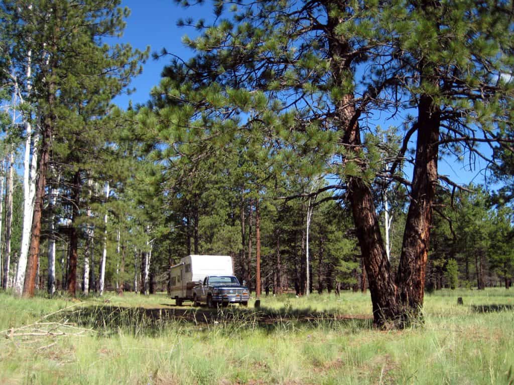
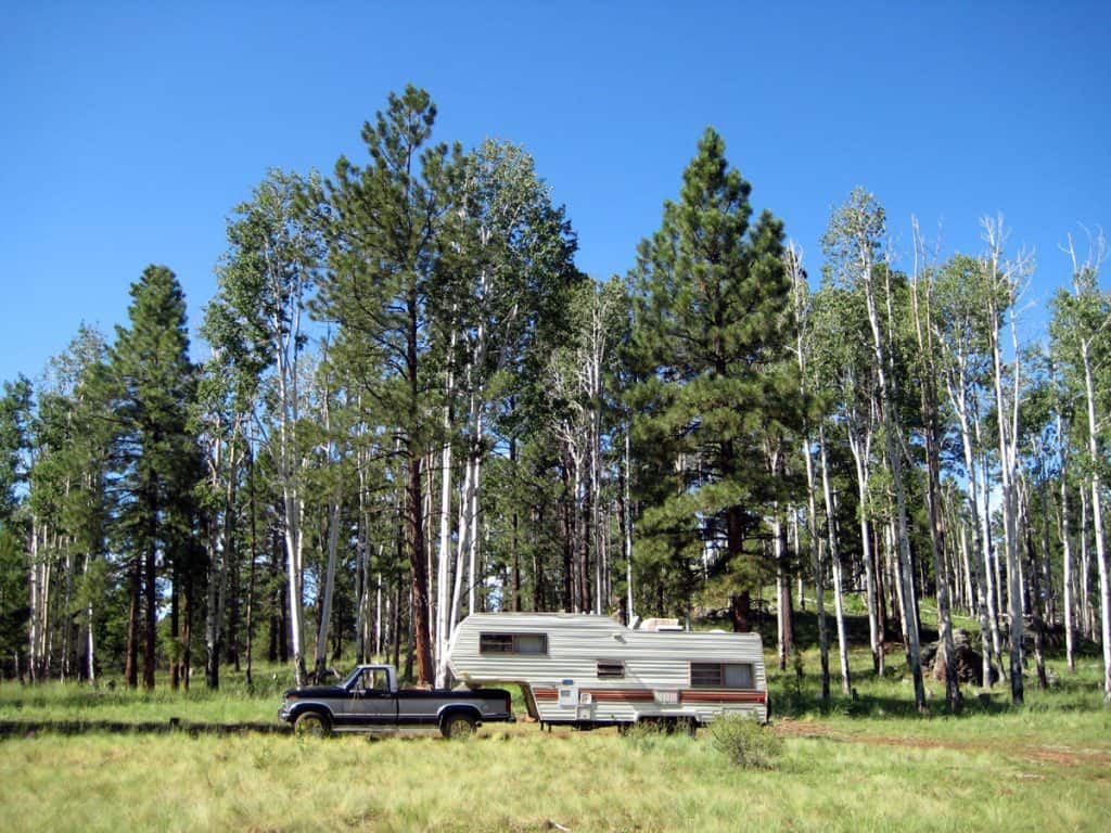
Kendrick Mountain rises along the border between the Coconino National Forest and the Kaibab National Forest northwest of Flagstaff, Arizona. Outdoor recreation is easy to find: Kendrick Mountain Trail takes you to 10,418 feet, the top of the mountain, where a fire lookout is stationed during the summer. The cool and surreal Lava River Cave is a short drive or bike ride away. And there is plenty of lush high altitude scenery to behold, with several forest service roads to access it. This camping area is a mix of meadow and tall pine forest below Kendrick Mountain.
We’re reader-supported. When you buy through links on our site, we may earn an affiliate commission.
Where in The World?
There are way too many great campsites to list here! Just pick a forest road near the mountain and start exploring.
Camping Elevation: 8,000 feet
GPS Coordinates: N 35 24.483’ W 111 51.061’
Kendrick Mountain Area Map
Kendrick Mountain RV Camping Journal
August 21, 2011
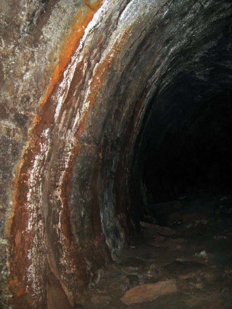
Recreation: I hiked Kendrick Mountain Trail to the top of the mountain. I also hiked Lava River Cave, which is southwest of here. It was a bit unnerving hiking the cave by myself. I’m glad my headlamp didn’t fail! There are several roads to explore by mountain bike, or to hike. Hiking is pretty easy below the mountain as it’s mostly flat.
Weather: During my stay in mid August the mercury never reached 80 degrees. I’ve had temps in the 70s every day and the weather has been very consistent. Lows have been around 50. It does get down to 60-65 in the RV at night, so it’s a little chilly waking up. I haven’t used my catalytic heater though. Most afternoons the clouds roll in and I’ve had a few thunderstorms. I didn’t get much rain, only a couple good soaks. I had a tiny bit of hail a couple days ago. The smoke from the nearby Beale Fire (west of here) occasionally drifts this way and I can smell it and see it in the air. The fire has died down now and it’s not a problem anymore.
Wind: It’s been mostly calm. In fact, the only wind I recall was just in the last few days. The evenings are usually always calm. It’s a great place to fly my 1 ounce RC airplane.
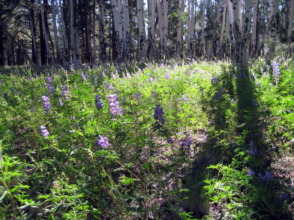
Wildlife: There’s lots of green grass and the many wildflowers attract numerous hummingbirds. I’ve seen more hummingbirds here than I’ve seen in my whole life. Sometimes they fly right up to my windows. I’ve seen them feeding on flowers, landing on tree branches, and chasing each other in the air. There are many other birds here too including robins, woodpeckers, and I believe I saw an owl. A couple of birds had a yellow belly with red on the neck area.
There are several squirrels. Golden-mantled squirrels are very common. I’ve also seen tassel-eared squirrels (Abert’s squirrel) which are grey with a reddish back and have long tassels on their ears. I saw deer, and a few lizards on Kendrick Mountain – a couple were mountain short-horned lizards.
Cows: There are no cows, which is great…unless of course you enjoy camping on a farm!
RV Solar: There is plenty of sunshine for my solar panel as it’s quite open in this grassy clearing next to a small stand of aspen and ponderosa pine.
Cell Signal: Very strong Verizon cell phone signal here. Verizon mobile broadband internet has worked great. Service is usually fast, and faster with the external antenna. My connection has switched to National Access a couple times, but only for short periods.
RV Campsite Rating: 9 out of 10. It’s been a superb campsite.
Kendrick Mountain Trail
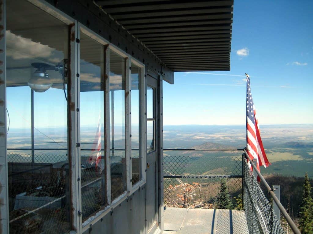
I hiked Kendrick Mountain Trail up to Kendrick Peak (10,418 feet) on 8-16-2011. I met the man working at the lookout tower and got to go up for a better view. The tower is also the lodging for the fire lookout as there isn’t enough room on top of the mountain for separate living quarters. The man (from northern Utah) works up here Monday thru Friday for 6 months, May to October.
Since this is a wilderness area there are no roads. Therefore he has to hike up to the lookout with all his gear and food each Monday – then hike back down on Friday. Thankfully mules carry up propane and water, the heavier stuff.
The lookout tower has a couple beds, and a kitchen with a stove and oven, all in the same room. Solar panels charge a battery bank for power. There is a small helicopter landing pad for emergency evacuations – in case someone is injured or there is a forest fire. A device called a fire locator has a sight and map so the fire’s location can be called in.
The hike took around 2 1/2 hours one-way to reach the summit. It’s not difficult and not terribly steep.

